Land Surveying
Land surveying
Land Surveying
Land surveying is the practice of accurately measuring and mapping the physical features of the Earth’s surface, including the terrain, boundaries, and man-made structures. To establish property lines, create maps, and support various engineering and construction projects. Land surveying plays a crucial role in land development, urban planning, infrastructure design, and property management, ensuring that construction projects are built on accurate and reliable information.
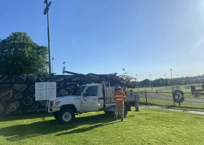
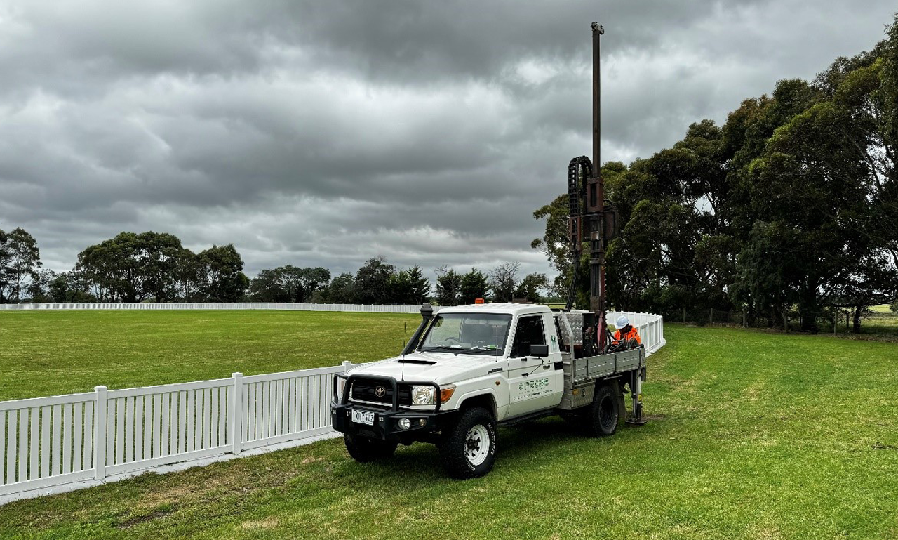
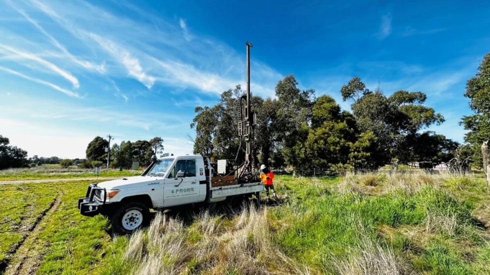
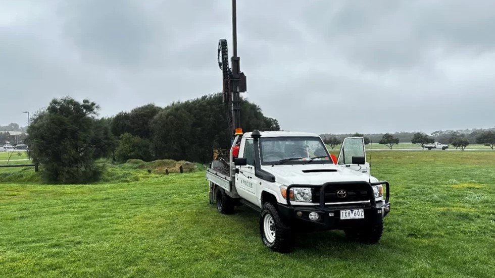
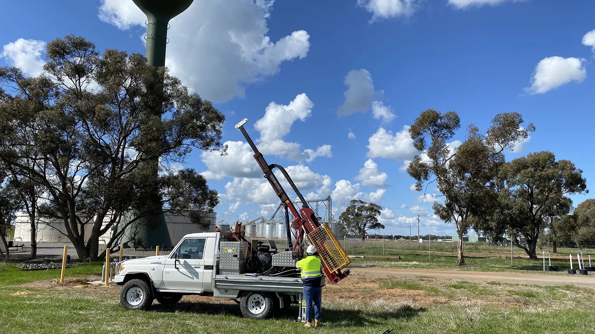
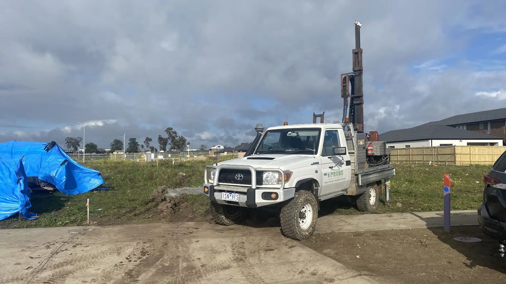
As Probe Geotechnical Services, we conduct feature and level surveys, site analysis surveys, building construction setouts, re-establishment and boundary surveys, and monitoring surveys. after the survey, we will provide you with credible survey data and a detailed report.
EXPERT GEOTECHNICAL ENGINEERING ADVICE FOR FREE
CONNECT WITH OUR QUALIFIED CONSULTANTS TODAY!
0403 995 593